

Architects edition. The 40% of project time nobody bills for, and the studio capacity ceiling it quietly builds.
The drawings you bill for represent maybe sixty percent of the time you actually spent on the project.
The other forty went into understanding the site. The setbacks. The easements. The overlay districts. The historic designations. The existing topography. The view corridors. The neighbor's two-story addition that will block the south light.
None of that shows up on the schematic. None of it shows up on the fee proposal. But all of it shapes the design.
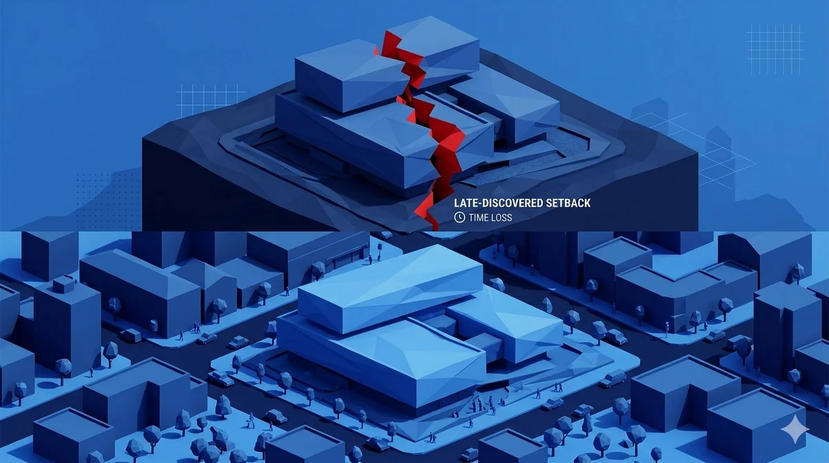
And when one of those constraints surfaces after you've drawn — when the city planner finds a setback you didn't know existed, when the historic commission flags a sightline you didn't see — that's when the rework starts. The kind of rework no client wants to pay for and no firm can absorb.
Most architects underestimate what this costs because the time gets buried in design development instead of site research.
The 9 to 13 sources before schematic
Run the audit. The industry benchmark for architectural site investigations is 9 to 13 separate sources before schematic design can begin in earnest. The surveyor's plat. The title commitment and recorded easements. The zoning code and overlay districts. Setbacks, height limits, FAR rules. Historic preservation designations. Design review committee guidelines. Solar access and view corridor regulations. Tree protection ordinances. The topographic survey. High-resolution aerial imagery. Adjacent building footprints, heights, and uses. FEMA flood maps. Municipal as-built records.
At 25 to 50 minutes per source. With at least one source per workflow that takes 90 minutes or more — typically a zoning interpretation from the planning office, a historic district pre-application, or assembling neighborhood visual context.
If your number is below 8 sources, you're designing on faith. Faith surfaces during plan review as a redline.
Architecture is contextual. The time spent assembling visual site context is some of the most influential time on a project — and most of it is spent hunting imagery and footprints instead of evaluating them.
Translate the hours to dollars
Architects typically bill $100 to $225 per hour. Principals and design directors run higher. The hours we're measuring are senior hours — because constraint interpretation requires licensed judgment.
At a $150 blended rate and 6 hours per week in site research, that's $46,800 per year per architect. At 10 hours per week, $78,000. For a principal at $225, those numbers run from $70,200 to $117,000 annually.
Most studio principals flinch around the $50,000 mark. That's where the conversation about additional services starts getting uncomfortable. Above $100,000, the next conversation isn't how do we win more work — it's how do we win work without losing money on the front end.
The rework column nobody puts on the fee proposal
For architects, the math runs in two directions.
If you weren't assembling site data, you'd be designing — which means another project moves through your studio. That's the visible cost: projects you couldn't take.
Then there's the rework column. Every late-surfacing constraint that triggers a redesign is hours your fee proposal didn't cover. The city planner finds a setback you didn't know existed. The historic commission flags a sightline you didn't see. The zoning office reinterprets an overlay you'd read three different ways.
Most firms are running 10 to 20% over fee on research-heavy projects. That overage almost always traces back to the assembly step at the front end.
Studios cap their project ceiling where the rework becomes survivable. Above that ceiling, the rework absorbs the margin. Below it, the studio thrives but never grows.
The context vacuum the worksheet doesn't measure
Architecture is fundamentally contextual. The visual site context — what's next door, what the neighborhood looks like, where the views are, what the rhythm of adjacent buildings is — shapes the design at every stage from feasibility through design development.
Most of the time invested in assembling that context is spent hunting. Pulling aerial imagery. Cross-referencing adjacent building footprints with their permitted heights. Walking the site three times to confirm what the imagery suggested. Calling the planner about whether a particular overlay applies. Calling the historic commission about whether a particular designation is current.
The actual evaluation of the context — the part that genuinely informs the design — gets whatever time is left after the assembly is done. That ratio is inverted from what it should be.
The studio doing 70% evaluation and 30% assembly is the studio whose designs feel deeply considered. The studio doing 30% evaluation and 70% assembly is the studio whose designs feel competent but not exceptional. The gap is mostly data assembly velocity.
What changes under one AI-indexed parcel layer
Skate's platform aggregates zoning code, overlay districts, setbacks, FAR rules, historic designations, design review guidelines, FEMA data, recorded easements, adjacent permit activity, and high-resolution aerial imagery — and cross-references them at the parcel level.
When you search a parcel, you don't get a list of records to read. You get every relevant constraint surfaced as part of the parcel context, ready to inform schematic.
Adjacent permit activity is the underrated layer. Knowing what's been approved within a half-mile in the past five years tells you what the design review precedent actually is — not what the guidelines say in writing, but what's been built in practice. That intelligence used to require a paid analyst pull. Now it's a parcel-search result.
Continuous monitoring flags when something changes. The overlay rewrite that surfaces during plan review doesn't surface during plan review anymore. Skate caught it the day it was adopted.
And critically, Skate's API pipes into the design stack you already run. Rhino. Revit. AutoCAD. The platform sits underneath your existing tools, not in place of them.
The studio capacity ceiling moves
Studios that adopt a unified parcel-data layer move their project ceiling up. The same staff, the same hours, can take on larger or more complex projects because the front-end assembly stops eating margin.
The math compounds. Every project where the constraints surface at hour one instead of week three is a project that closes on fee instead of leaking ten percent into uncompensated rework. Across a year of projects, that's the difference between a studio that breaks even and one that funds growth.
Most studios that pilot Skate cite the same shift: schematic design starts feeling like design again, because the assembly step shrunk from days to minutes.
Three months. Run it on a real project cycle.
Skate's three-month free trial is structured to cover a full schematic cycle on a representative project. Pick the next project that starts in May or June. Run the parcel search Skate would generate. Compare what surfaces to what your team would have assembled manually.
Most architects find at least one constraint per parcel that would have shaped the schematic differently. Most find at least one piece of adjacent permit precedent that would have changed the pitch to the client.
No card. No procurement cycle. Three months covers most schematics. You decide at the end of the trial whether your data layer is finally what it should have been.
Stop absorbing the architecture tax.
Sign up for our Free Hidden Calculator Guide for Architects:
https://www.tryskate.com/guides
Start your 3-month Free trial:
https://www.tryskate.com/centralized-land-data-for-surveyors