
Every boundary professional knows the rhythm.
Find the corner. Then find the previous corner. Then verify which one actually controls. Some monuments are missing. Some have been moved. Some never existed.
The hours your field crew spends re-establishing what should already be known is some of the most expensive time in your year. Clients won't pay extra for it.
Run the math honestly. Ten extra field hours per project. Thirty projects a year. A $150 blended rate. That's $45,000 in unbilled time on what was supposed to be a billable workflow.
Most firms treat this as just how surveying works. It isn't. The monument problem is fundamentally a data problem dressed up as a field problem.
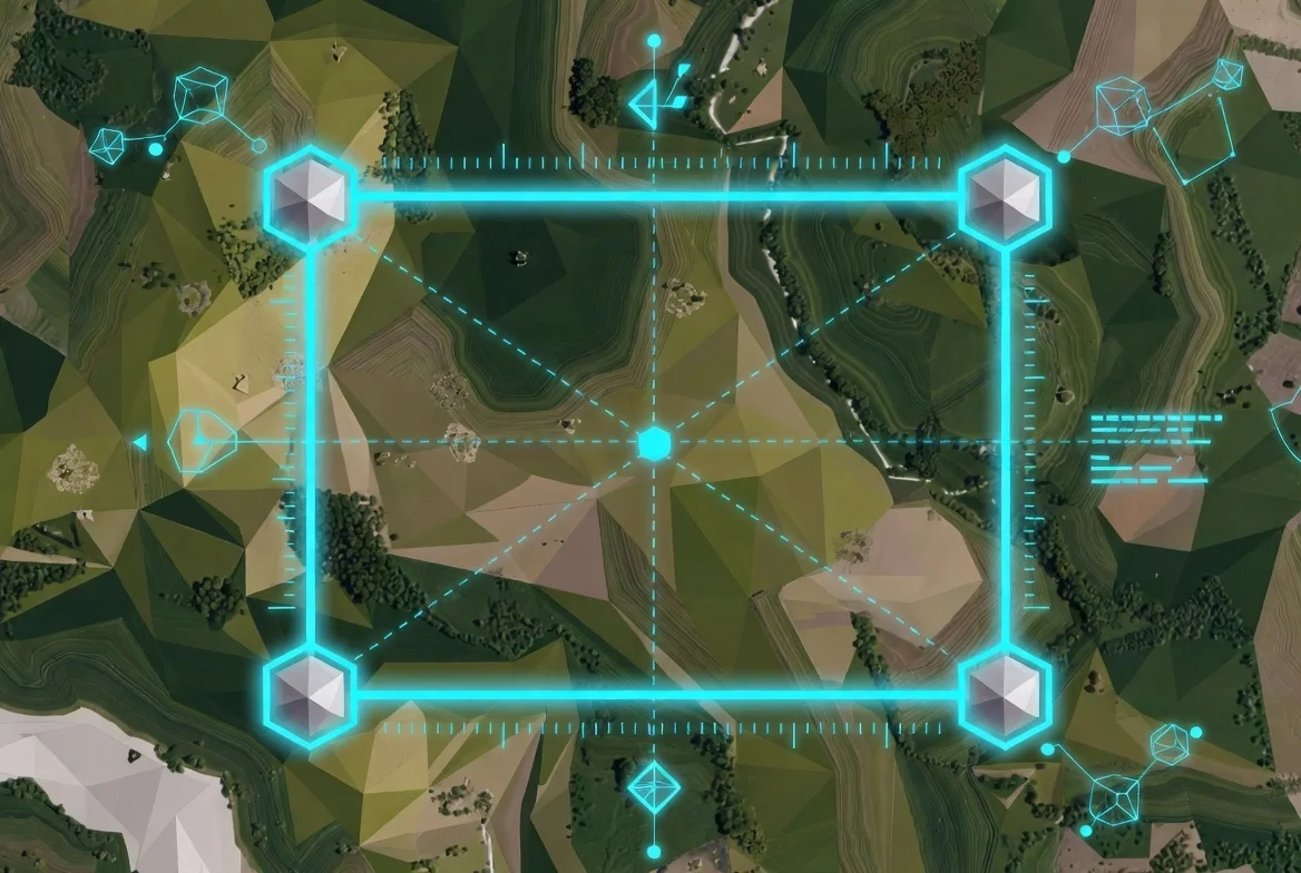
Where the data already exists
Every prior monument that matters to a current boundary exists somewhere in a record system. Recorded plats from earlier surveys. DOT as-builts from when the right-of-way was widened. BLM section corner records. Archived field notes from another surveyor — sometimes from your own firm, sometimes from one across the county.
The data isn't missing. It's scattered. And the scatter is the problem.
Most firms reach for whichever record system was easiest to access. The county plat book in PDF, if the recorder digitized that decade. The DOT archive if the project is on a state right-of-way. Calls to surveyors who might remember a particular subdivision. The 200-page scanned PDF that the office tries to skip because nobody wants to be the one who opens it.
What gets pulled is whatever the office had time to pull. What gets skipped is everything else. And the field crew absorbs the gap.
Every prior monument that matters to a current boundary exists somewhere. The problem isn't missing data. It's scattered data.
What field hours actually cost
The field crew's day rate is fixed. But the hours they spend hunting monuments that the office could have verified represent displaced billable work — work they should have been doing somewhere else.
Three extra hours on Tuesday looking for a corner that wasn't where the plat said it was. Two hours on Wednesday verifying a fence-post mistaken for a pin. A half-day on Thursday locating the original section breakdown because the controlling plat was a 1949 recorded survey that nobody had digitized.
That half-day is gone. The crew didn't roll to the next project. The schedule slipped. The principal absorbed the delay because the fee schedule didn't account for it.
Multiply across a project pipeline and the math gets uncomfortable fast. Most firm owners flinch when they translate it.
The liability angle nobody mentions out loud
When a boundary dispute surfaces years later, the question in court isn't whether you did the work. It's whether you had the complete record when you set the corner.
The surveyor who pulled six sources is the one who gets second-guessed in deposition. The surveyor who pulled eleven is the one whose insurance carrier sleeps at night.
Incomplete monument records aren't just slow. They're an audit trail with holes — and litigation looks for holes.
Most firms underprice this exposure because no claim has surfaced yet. Then a claim surfaces. Then the premium goes up. Then the conversation happens, and it's a different conversation than the one about productivity.
What AI-indexed monument records actually change
When historical plats, DOT as-builts, BLM corner records, and archived field notes get cross-correlated under one trusted layer, the workflow changes in three specific ways.
First: the field crew leaves the office with a reliability score on every monument they're hunting. Instead of guessing whether the 1987 record can be trusted, the office can see at parcel-search time which monuments have been verified by adjacent surveys, which have been disputed, and which carry a confidence gap that suggests an extra check.
Second: historical context surfaces in seconds, not weeks. The 1949 plat that controls the section breakdown shows up under the parcel — not as a 200-page PDF nobody opens, but as a geotagged record indexed by location. The surveyor in 1949 set a corner. Skate's AI knows where it was set and what survived through subsequent surveys.
Third: the field crew's hours redirect to what they should have been doing all along — setting corners, running topo, doing fieldwork that bills. Not chasing ghosts.
The real number behind the monument problem
Run a quick audit on your last year. How many field hours did your crew spend re-establishing monuments that turned out to exist in some prior record, somewhere? How many of those hours were billable? How many showed up on the deliverable, and how many got absorbed into the fee?
If the unbilled side of that math is greater than 5% of your firm's annual revenue, the monument problem is a meaningful business problem. Above 10%, it's the business problem.
Most firms find themselves somewhere between 6% and 14% once they audit honestly. That's the cost of a data layer that wasn't built to be one.
Three months is the right test
Skate's three-month free trial is designed for exactly this kind of audit. Pick five active or recently completed projects. Run the parcel searches Skate would have surfaced. Compare what the office pulled then to what would have surfaced now.
Most surveyors find at least one record per project that would have changed the field workflow — a monument that wouldn't have needed hunting, a corner that could have been pre-verified, a section breakdown that surfaced in seconds rather than half a day.
Three months. No subscription locked in. The trial is structured to let you run the math on real production work — not on demos. Watch the field hours redistribute. Decide whether your data layer was ever what it should have been.
Start your 3-month free trial → tryskate.com/centralized-land-data-for-surveyors