

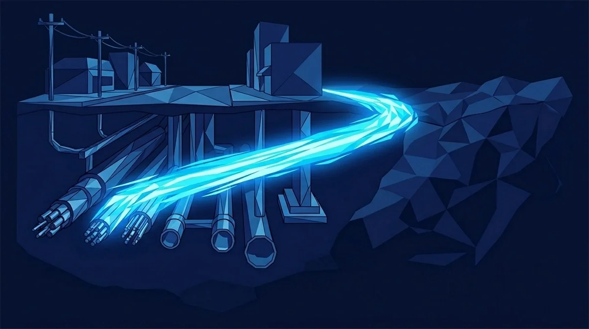
The most consequential capability for civil and geotechnical engineers isn't a new design tool. It's a synthesized subsurface profile that flags conflict before the pen touches the page.
This article is for all the Geotechnical Engineers, Civil Engineers and Site Designers out there.
The subsurface investigation phase is a black box.
Not because we don't know what's down there. Because the data describing what's down there lives in five different agency archives, six utility-company silos, and a half-dozen scanned PDFs nobody's opened since 2014.
Geotechs know this best. Adjacent boring logs are evidence, not proof. The hours spent deciding whether a 200-foot-away soil profile applies to your site is some of the most consequential thinking in your year — and most of that time is spent hunting the data, not analyzing it.
Then the contractor mobilizes and the locator hits something nobody knew was there. The delay claim shows up on Tuesday.
There's a phrase in geotechnical work for this: the assumption surfaces during construction. The phrase exists because the situation is common enough to need a phrase.
Where the subsurface data already exists
The data describing the subsurface is, in fact, mostly already collected. It's just not assembled.
Utility company records — water, sewer, gas, electric, telecom — exist in five separate corporate databases. Adjacent boring logs from prior projects exist in geotechnical firm archives, often paper records or scanned PDFs. Historical aerial imagery exists in state and federal archives. Municipal as-built drawings exist in the city engineer's office, sometimes in a binder, sometimes in a GIS layer, sometimes both with conflicting data. 811 ticket history exists in a centralized state database. USGS and state geologic maps exist online but at coarse resolution.
Each source is partial. Each source has a different idea of where the utility line actually runs, what depth the bedrock is at, how the soils transition across the parcel. The geotech's job is to synthesize them.
The synthesis is the work. The data-hunting is the friction. Most firms have inverted that ratio — most of the time is hunting, and the synthesis happens in whatever time is left.
The subsurface isn't really a black box. Most of the data already exists. It just lives in six places nobody has time to assemble.
What AI predictive modeling actually does
Skate's platform generates synthesized underground utility maps and geological profiles by running machine-learning cross-correlation across the data sources above. The output isn't a document. It's a cross-referenced profile that flags conflict risk before the design pen touches the page.
The model looks at the recorded utility easements and cross-checks them against the actual locator history from 811 tickets in the area. Discrepancies surface as conflict flags. The model interpolates between adjacent boring logs and flags where the soil profile carries low confidence — telling the geotech where to spec additional borings and where the adjacent data generalizes credibly.
Historical aerial imagery feeds context. If a parcel was used for a different purpose forty years ago — a fuel station, a manufacturing site, an agricultural operation — the imagery surfaces it, and the model flags it as a potential environmental consideration.
Municipal as-built drawings get geotagged. When you search a parcel, you don't get a folder of PDFs. You get every relevant subsurface drawing that touches the site, pre-located in 3D space.
What changes for the geotech specifically
Three things change.
The boring-log generalization decision stops being made on faith. The model surfaces every adjacent log within a meaningful radius, weights them by depth and recency, and tells the geotech where the soils are stable across the parcel and where they're transitioning. The decision becomes evidence-based instead of intuition-based.
The conflict-risk assessment moves earlier in the workflow. Today, a typical geotechnical recommendation surfaces conflict risk near the end of the design phase — sometimes after the civil grading plan is largely set. With synthesized profiles, conflict risk surfaces during the parcel search at hour one. The civil and geotech sides collaborate at the front end, not the back end.
And the 3 a.m. contractor call doesn't happen. Or, more precisely, it happens to someone else.
What changes for the civil designer
The civil designer stops designing on partial subsurface data. The grading plan accounts for verified soils. The utility layout works around known conflicts instead of inheriting them.
The stamped plans hold up. The gap between what the records say and what the contractor finds in the field closes meaningfully.
And the schedule holds. The two-day site investigation that used to take five days takes two again — because the assembly step collapses from days to hours.
What sub-centimeter precision actually means here
Skate's data layers carry sub-centimeter precision globally. For engineers, that's not a vanity metric — it's the difference between a grading plan that builds correctly and a grading plan that needs an RFI on day one.
Most engineering firms have made peace with a certain level of as-built drift. The 1987 utility drawing was probably accurate to plus-or-minus three feet. The 1998 DOT survey was probably accurate to plus-or-minus a foot. The geotech assumes a margin in the soils profile because the borings are sampled, not exhaustive.
These margins compound. By the time the civil design is stamped, the cumulative uncertainty often exceeds what a contractor can tolerate without RFIs.
Sub-centimeter precision at every layer compresses the cumulative uncertainty. The design tolerances tighten. The field crew encounters fewer surprises. The contractor stops calling.
What an API-first architecture means for the engineering stack
Most engineering firms have invested heavily in their CAD, BIM, and GIS workflows. Civil 3D. Revit. MicroStation. ArcGIS. Bluebeam. The analytics layer for project management. The integrations between them.
Skate's API pipes assembled, AI-validated data directly into all of these. The platform doesn't try to replace the tools. It changes what flows into them.
The DOT records request that used to take two weeks becomes a parcel search that takes thirty seconds. The historical as-builts you'd usually skip because they were too painful to find are suddenly the first thing you check. The geotechnical generalization decision starts with a synthesized profile, not a phone call.
Three months. Run it on a real project.
Skate's three-month free trial is structured to be used on production work. Pick a live site investigation. Pull the records the way you normally would. Then run the same parcel through Skate.
Most geotechs find the first conflict flag inside the first parcel search. Most civil designers find an as-built that would have changed the grading plan in the first session.
Three months. No card. No subscription locked in. The trial is the cheapest evidence-gathering exercise your firm will run this year.
Stop hunting the subsurface. Start analyzing it.
Start your 3-month free trial → https://www.tryskate.com/centralized-land-data-for-surveyors